Lesson Plan
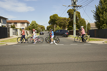
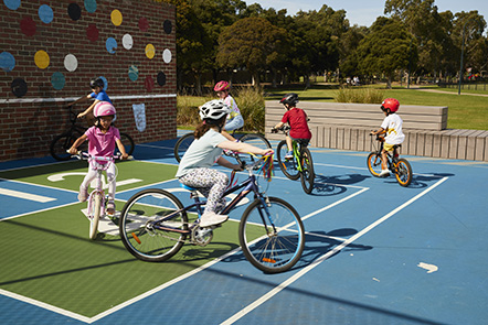
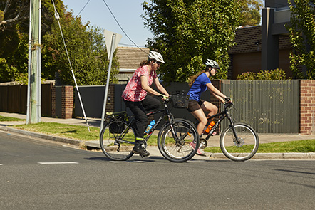
Bike Ed Unit 3 Lesson 9 Planning to avoid hazards
Primary School
In-Class
Interactive Learning
Year 5
Year 6
Lesson Approach
This is the ninth of 10 lessons for Unit 3 – Getting ready to ride on the road. This lesson is 45 minutes long.
Curriculum Alignment
This lesson supports:
- Represent the location of places and other types of geographical data and information in different forms including diagrams, field sketches and large-scale and small-scale maps that conform to cartographic conventions of border, scale, legend, title, north point and source; using digital and spatial technologies as appropriate (VCGGC089)
- Interpret maps and other geographical data and information using digital and spatial technologies as appropriate, to develop identifications, descriptions, explanations, and conclusions that use geographical terminology (VCGGC090)
- Plan and practise strategies to promote health, safety, and wellbeing (VCHPEP108)
- Investigate the role of preventive health in promoting and maintaining health, safety and wellbeing for individuals and their communities
(VCHPEP112) - Explore how participation in outdoor activities supports personal and community health and wellbeing and creates connections to the
natural and built environment (VCHPEP113)
Download
Download the lesson plan in the link above or here.
To access the rest of the Bike Ed Unit 3 lesson plans and resources in one place please go to the School Program Resources page or find more resources highlighted below


